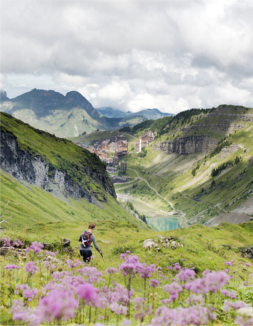
Chavanette Lake from Avoriaz
Sport, Pedestrian sports, Hiking itinerary
in Avoriaz
9.4
km
-
A nice walk and short to have a nice view on Avoriaz.
-
1. Start from Jean Vuarnet place in the Hauts-Forts
sector (F6 on Avoriaz vi lage map).
You can also start from “Place du Snow” (D7), and take
the path going down between the Snow and the Alegro
buildings.
2. You wil pass in front of “Les Trappeurs” and “Chez Flo”
restaurants to reach the start of Lac Intrêts charlift.
3. Continue via the footpath that fo lows the right banks of
the lake and take the trail on the left side of the tunel.
V. Variant:
You can carry on...1. Start from Jean Vuarnet place in the Hauts-Forts
sector (F6 on Avoriaz vi lage map).
You can also start from “Place du Snow” (D7), and take
the path going down between the Snow and the Alegro
buildings.
2. You wil pass in front of “Les Trappeurs” and “Chez Flo”
restaurants to reach the start of Lac Intrêts charlift.
3. Continue via the footpath that fo lows the right banks of
the lake and take the trail on the left side of the tunel.
V. Variant:
You can carry on uphil on a trail starting on the left of
Choucas chairlift. The path passes by a smal lake and
continues until the Chavanette pass, which marks the
Franch-Swiss border with a beautiful view over the
Valais region & the Swiss resorts of the Portes du Soleil
ski area!
4. Come back by the same way.
Be careful: no shade is offered on this trail as there is no
trees. Don’t forget to stay hydrated!
- Departure
- Avoriaz
-
-
Plain text period
-
From 27/06 to 14/09 daily.
Access depending on the snow level, on weather conditions. Before leaving find out about the access to the Tourist Office.
Subject to favorable weather.
-
-
-
Environment
-
-
-
Spoken languages
-
-
-
-
-
Documentation
- GPX / KML files allow you to export the trail of your hike to your GPS (or other navigation tool)
-
Services
-
-
Services
-