
Walking route - Les Mattes
Sport, Pedestrian sports, Hiking itinerary
in Châtel
10.0
km
4h 30min
Hard
-
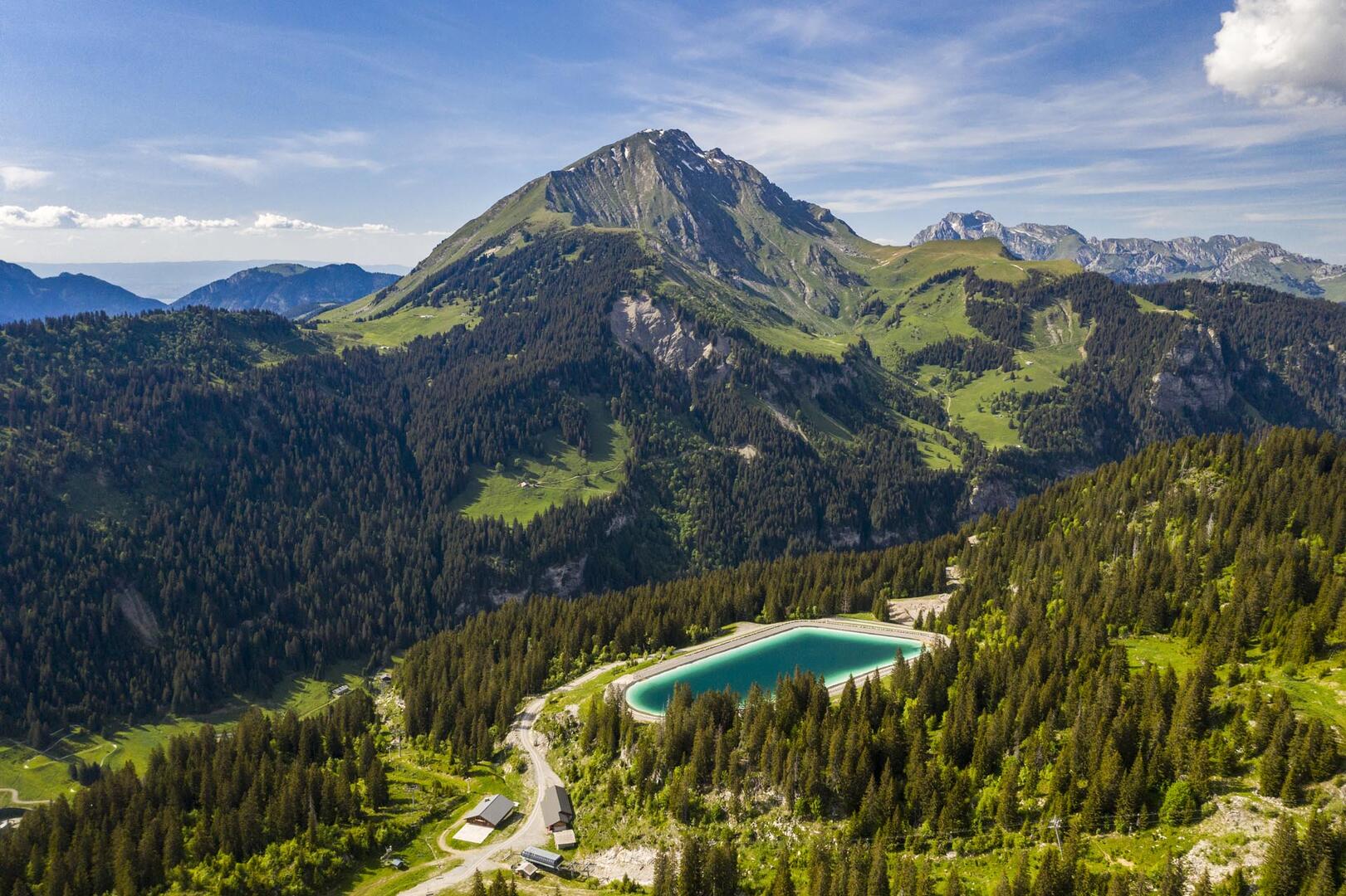
A trail for experienced hikers that takes you from mountain pasture to mountain pasture through forest and clearings to Les Mattes.
-
In Villapeyron, park in the sawmill parking lot. The trailhead is located at the top of Chemin de Villapeyron, 50 meters from the parking lot.
The trail enters the woods, crosses a stream, and climbs straight up until it reaches a forest road. From there, take the trail that winds upward to the wayside shrine.
Continue on the trail ascending to the right of the wayside shrine and join the wide path leading to the Boudîmes mountain pasture. Cross the pasture to reach a small plateau...In Villapeyron, park in the sawmill parking lot. The trailhead is located at the top of Chemin de Villapeyron, 50 meters from the parking lot.
The trail enters the woods, crosses a stream, and climbs straight up until it reaches a forest road. From there, take the trail that winds upward to the wayside shrine.
Continue on the trail ascending to the right of the wayside shrine and join the wide path leading to the Boudîmes mountain pasture. Cross the pasture to reach a small plateau behind the high-voltage power line tower.
The route then climbs gently through the alpine pastures; the view opens up as you ascend, and you’ll catch a glimpse of the Dents du Midi (3,257 m).
Continue along this same trail through a stretch that alternates between woods and clearings. You’ll reach the Chalet de la Torrens, and at the same time join the GR5 (a long-distance hiking trail marked with red and white signs, crossing the Alps from Lake Geneva to the Mediterranean Sea).
Head up to the left, following the trail to Les Mattes, the gateway to the beautiful Combe de Grange. Return via the same route.
Whichever walk you choose, we recommend that you :
- Wear appropriate footwear and always take with you: warm clothing, preferably waterproof, plenty of water, sunglasses, sun cream and a small first-aid kit.
- Do not set off alone.
- Inform someone living in the valley of your plans.
- Do not change the planned itinerary indiscriminately. But do not hesitate to shorten it if necessary.
- Carry a map and even a torch.
- Check the weather forecast before setting off.
- In the event of a thunderstorm, move away from ridges, passes and summits as soon as possible and never take shelter under an isolated tree.
This route crosses the Mont de Grange nature reserve. To avoid disturbing wildlife and preserve its habitat, please respect the regulations in force.
Dogs are allowed and must be kept on a lead. It is forbidden to pick and gather plants, to litter and to use motor vehicles. Bivouacs are permitted from 7pm to 9am.
Here as elsewhere, nature deserves your attention
- Departure
- Châtel
-
-
Further information on localisation
- Car park Très les Pierres. Bus line 1, stop Très les Pierres (July & August).
-
-
-
Plain text period
-
From 01/06 to 31/10 daily.
Accessible outside of snowy periods and depending on weather conditions. Please check with the Tourist Office in advance to find out the current access conditions. Recommended period for use: spring, summer, and autumn.
-
-
-
Environment
-
-
-
Documentation
- GPX / KML files allow you to export the trail of your hike to your GPS (or other navigation tool)
-
Services
-
-
Equipment
-
-
-
Services
-