
11. Croix de Culet - Chaupalin
Sport, Winter sports, Snowshoe itinerary
in Champéry
4.5
km
-
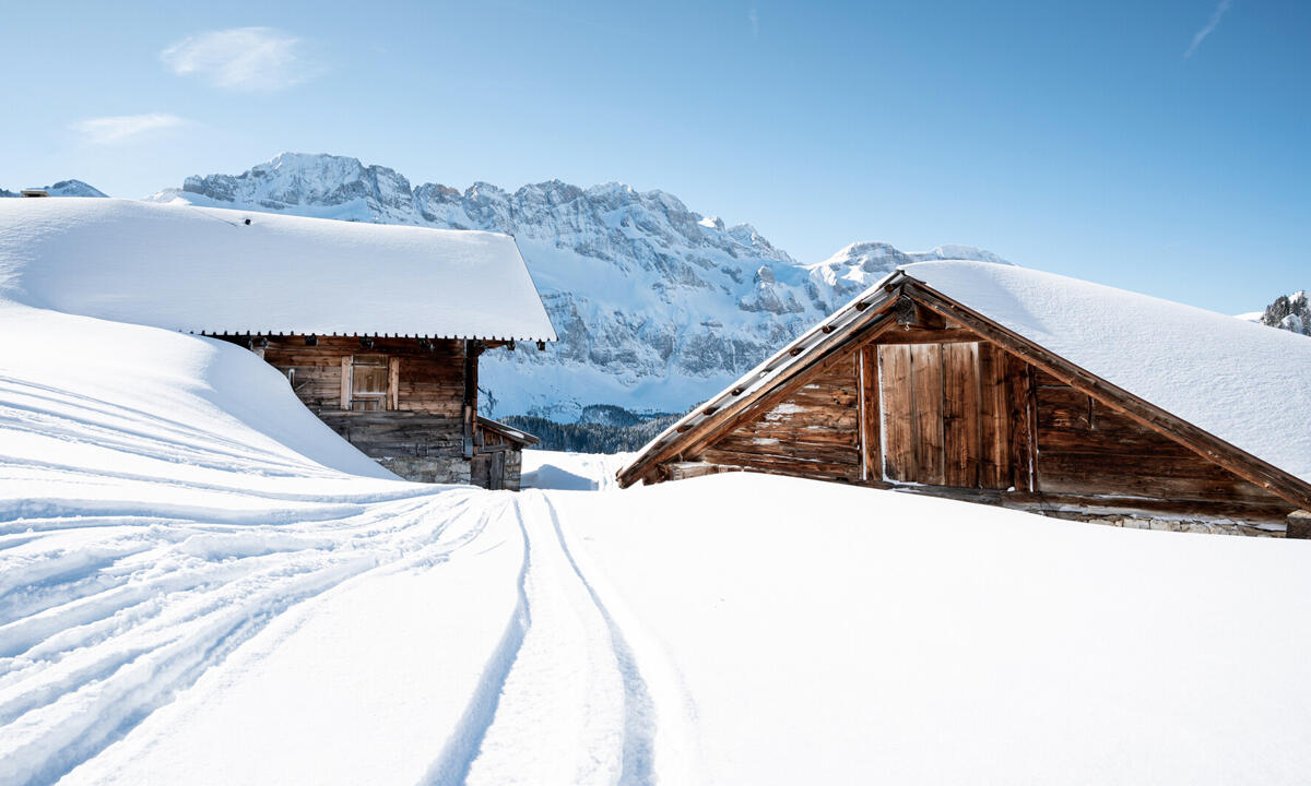
This trail winds in-between the ski slopes, offering unobstructed views of the Dents du Midi and Dents Blanches mountains and perfect snow conditions throughout the season.
-
The snowshoe trails start at the top of the Croix-de-Culet cable car (look for the pink flag indicating the start).
Exit the cable car building and head straight ahead downhill towards Les Crosets. Then, turn left and cross the ski slope (be cautious of skiers) following the marked trail.
When you reach the restaurant Refuge du Chaudron, continue straight on in front of the restaurant and the drag lift arrival station. The trail will head downhill and curve around the left edge of the...The snowshoe trails start at the top of the Croix-de-Culet cable car (look for the pink flag indicating the start).
Exit the cable car building and head straight ahead downhill towards Les Crosets. Then, turn left and cross the ski slope (be cautious of skiers) following the marked trail.
When you reach the restaurant Refuge du Chaudron, continue straight on in front of the restaurant and the drag lift arrival station. The trail will head downhill and curve around the left edge of the reservoir.
Follow the #11 signs towards the place called Chaupalin, where you can refuel with something tasty at the picturesque Chez Yoyo et Jiby restaurant. From here, you can also feast your eyes on a splendid panorama overlooking Les Crosets and including the Dents du Midi (3257m), the Ruan massif (3220m) and the Dents Blanches (2760m).
Return to the Croix de Culet along the same route.
- Departure
- Champéry
-
- Departure and arrival from the Croix-de-Culet (top of the cable car).
-
-
Plain text rates
-
Champéry - Croix-de-Culet cable car (round trip) :
CHF 24.- / adult
CHF 18.- / child (5-15 years)
Cable car parking: CHF 5.-/day in winter.
-
-
-
Environment
-
-
-
Spoken languages
-
-
-
-
-
Documentation
- GPX / KML files allow you to export the trail of your hike to your GPS (or other navigation tool)
-
Services
-
-
Equipment
-
